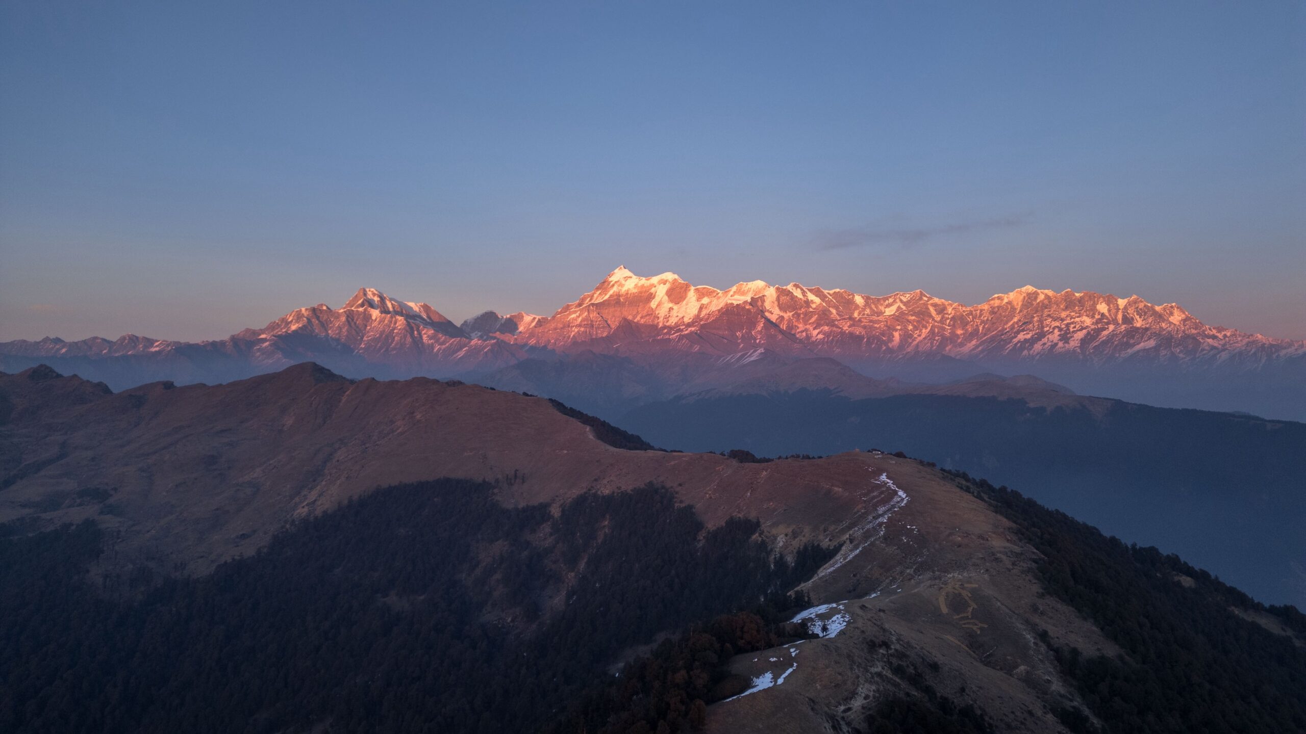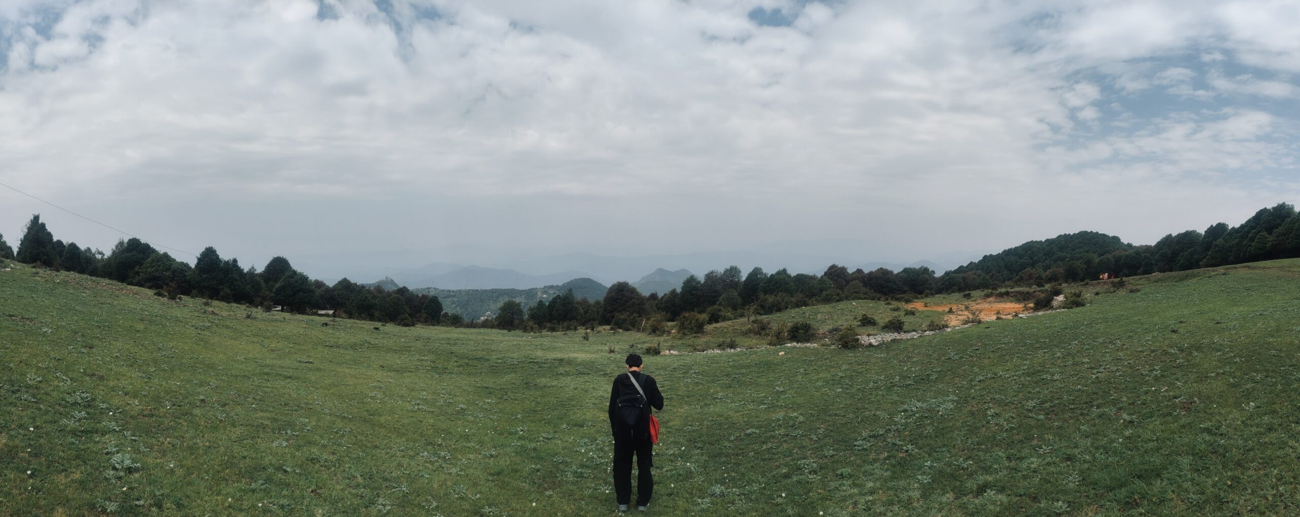
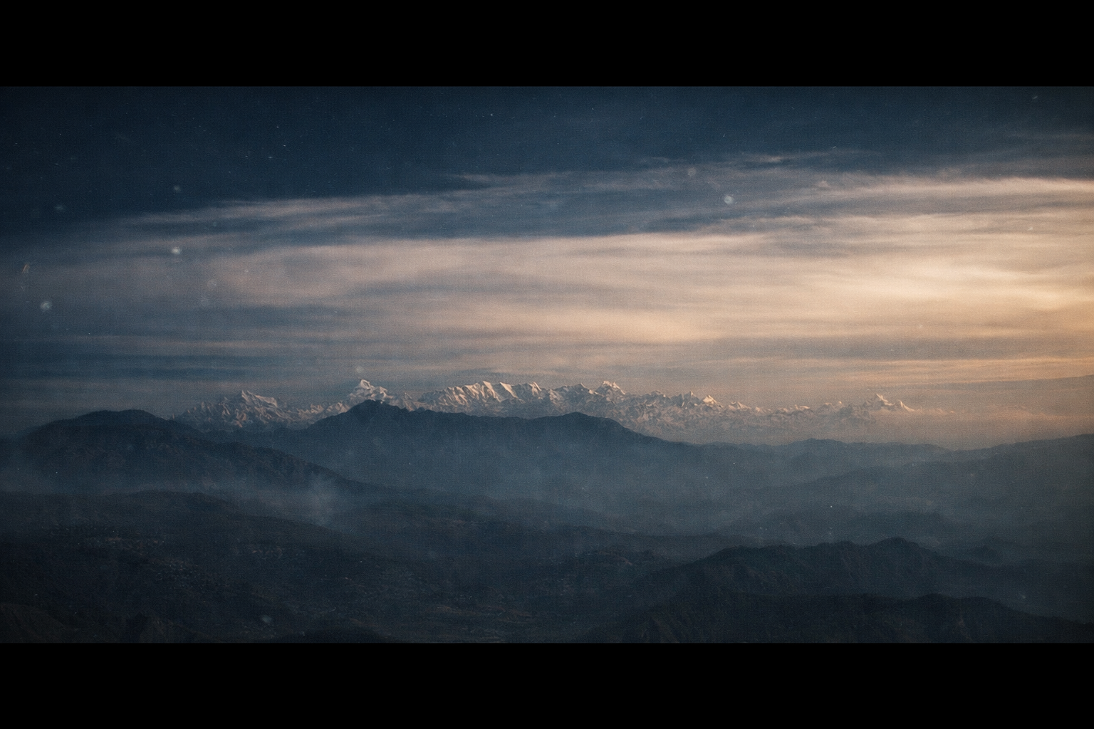
There's a peak deep in the Kumaon Himalayas, close enough to the Nepal border that the wind seems to carry two countries in it, known to those who've made the journey as **Chhota Kailash** - a smaller, closer echo of Mount Kailash in Tibet. Reaching it isn't simply a matter of distance. It's a ride through some of Uttarakhand's most remote borderland, past villages that have quietly kept faith with this mountain for generations.
Following a river that draws a border
The road out of Haldwani climbs through **Nanakmatta Sahib**, a revered Sikh pilgrimage site, before the **Kali River** joins the route near Pithoragarh - the same river that traces the line between India and Nepal for much of the journey. From **Gurna Temple**, the **Soar Valley** opens up below, the first real sense that the scale of the land ahead is about to change.
By the time the road reaches **Dharchula**, that change has already begun. This border town has functioned as a trading point between India and Nepal for generations, and past it lies the Inner Line - a restricted zone where the tarmac gives way to something rougher, and the landscape stops being scenic in the postcard sense and starts feeling genuinely remote.
A village built around altitude
**Gunji**, sitting near where the Kali and Kuti rivers meet, is less a destination than a necessary pause - a place to let the body catch up with the altitude before going any higher. The village has likely served this same function for pilgrims and traders for centuries, long before permits and checkpoints existed to formalize the journey.
Where belief and landscape meet
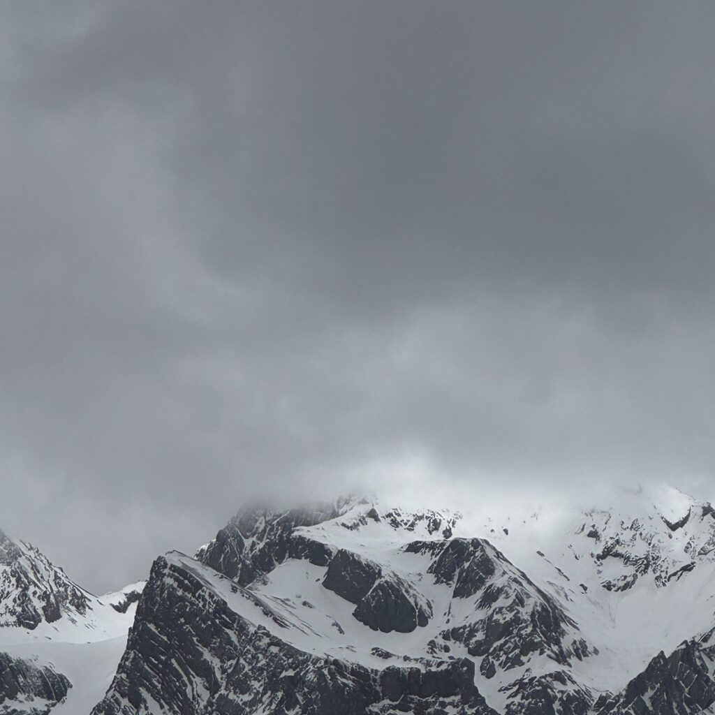
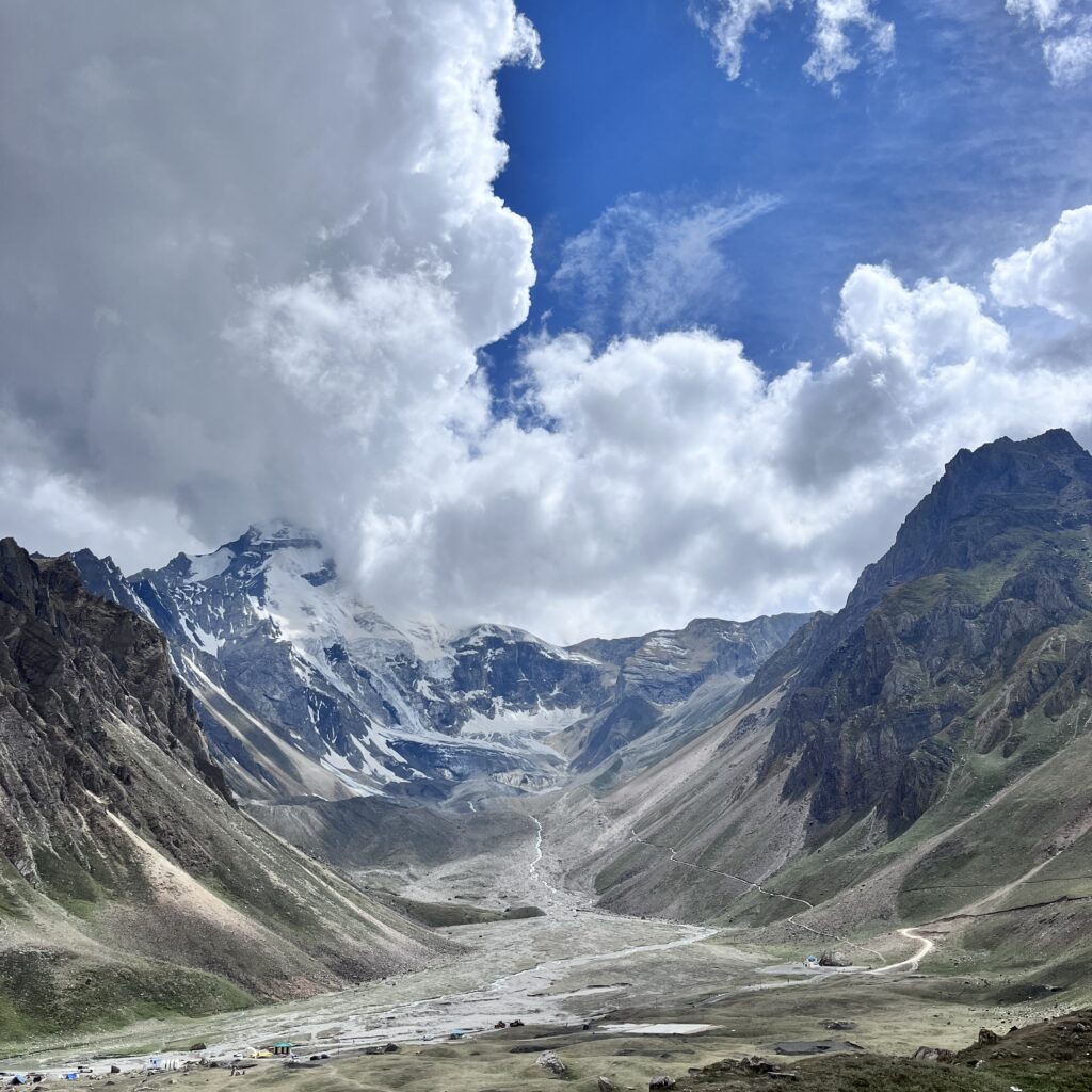
At Adi Kailash's base lies **Parvati Kund**, also called Gauri Kund - a glacial lake held in a bowl of stark, treeless mountain, with a small temple to Shiva standing quietly at its edge. For pilgrims, this lake and the peak above it carry the same weight as Kailash itself, a belief that predates any modern route or motorcycle making the journey easier. Standing there, at close to 4,500 meters, it's hard to separate the landscape from the reverence people have carried toward it for so long.
Not far off, **Om Parvat** offers its own quieter miracle - snow settling, in the right conditions, into the shape of the sacred "ॐ" symbol across the mountain's face. Nearby, the **Vyas Valley** carries its own legend, said to be where the sage Ved Vyas composed part of the Mahabharata inside a cave that still sits along the route today.
Coming back down
The return route eases through **Almora**, a hill town with its own unhurried Kumaoni rhythm, and past **Kasar Devi** and **Kainchi Dham** — sites known respectively for a strange magnetic pull and for their association with Neem Karoli Baba - before the road finally drops back toward Haldwani and the plains.
What stays with you
Adi Kailash isn't a trip that photographs its own meaning. The permits, the altitude, the days of rough road - all of it is really in service of a handful of moments at the lake, at the mountain, in the villages that still hold this place sacred. It's a landscape that asks for patience and gives back something closer to a pilgrimage than a ride.
Explore more: browse our itinerary for the Adi Kailash Expedition
A pilgrimage older than the road
Long before permits, checkpoints, or motorcycles made this journey possible in a week, Adi Kailash was already a destination for pilgrims willing to walk for days through this exact borderland. Local accounts describe circumambulation routes around the peak similar in spirit to the parikrama performed at Kailash itself, undertaken by those for whom crossing into Tibet was never an option. The modern route mostly follows old foot trails and trade paths rather than cutting new ground, which is part of why the journey still feels like it's tracing something older than itself.
The checkpoints and what they represent
Riding this route means passing through several security checkpoints once past Dharchula, each one a reminder of exactly where you are - a strip of land pressed between two countries, watched over carefully precisely because it matters strategically as well as spiritually. It's easy to experience these stops as simply bureaucratic, but they're also a quiet acknowledgment of how sensitive and significant this stretch of the Himalayas has always been, long before it appeared on any tourist itinerary.
Weather as the real gatekeeper
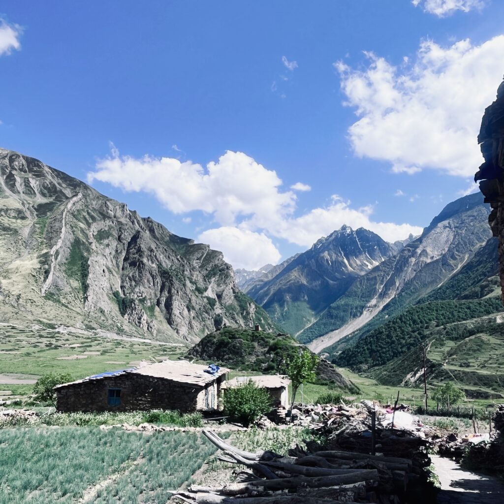
More than permits or road conditions, weather decides what this trip actually looks like day to day. A clear morning at Om Parvat can mean the "ॐ" pattern is visible in full; an hour later, cloud cover can erase it completely. The same applies to Adi Kailash itself, often wrapped in mist that lifts only briefly, if at all. Riders who've done this route more than once talk less about guaranteed views and more about the specific, unrepeatable moment when the clouds happened to part - which is arguably closer to how a pilgrimage is supposed to feel than a scheduled photo stop ever could be.
Villages that outlast the tourist season
Unlike better-known Himalayan routes, the settlements along this road - Gunji especially - don't reorganize themselves around visitors. Homes remain built for the community's own survival through brutal winters, guesthouses are converted rooms rather than purpose-built lodges, and the rhythm of the village continues largely unchanged whether or not an expedition group happens to be passing through that week. It's a reminder that this landscape's real purpose was never tourism - visitors are simply, briefly, allowed to pass through it.